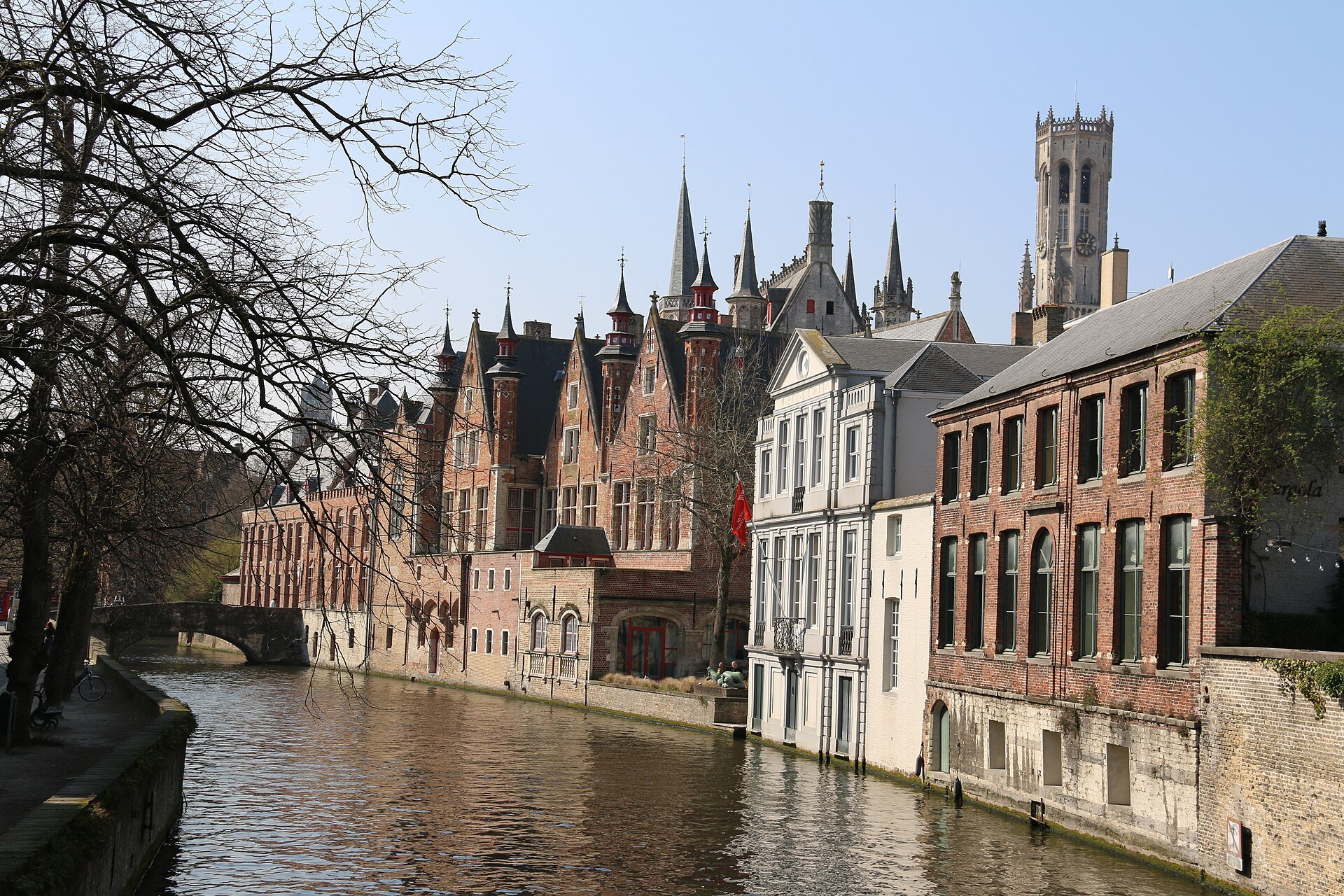
A curving stretch of canal and quay behind the Burg, lined with almshouses, the Renaissance back of the Liberty of Bruges and three bridges, and the calmest walk in the heart of the city.
Along the quay
- 1Blinde EzelbrugThe bridge at the end of the Blinde Ezelstraat, where the quay begins
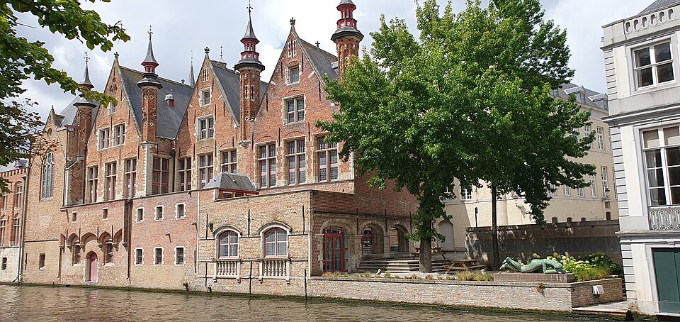
- 2The Liberty of BrugesThe sixteenth-century rear of the Landhuis rising straight from the water
- 3MeebrugA small bridge crossing the canal midway along the quay
- 4Godshuis De PelikaanA low almshouse beside the water with a pelican sign
- 5PeerdenbrugThe bridge where the quay turns, with a long view back along the canal
- 6SteenhouwersdijkThe stretch where the street continues along the water
Along the water, in the order you meet them.
Why it matters
Step through the arch of the Blinde Ezelstraat from the Burg, cross the little bridge at its end, and turn left along the water. Within a hundred steps the crowds thin, the traffic disappears and the canal curves away under trees, past low almshouses and the tall brick back of an old government palace. This is the Groenerei, the green canal, and it is the most peaceful stretch of water in the center of Bruges.
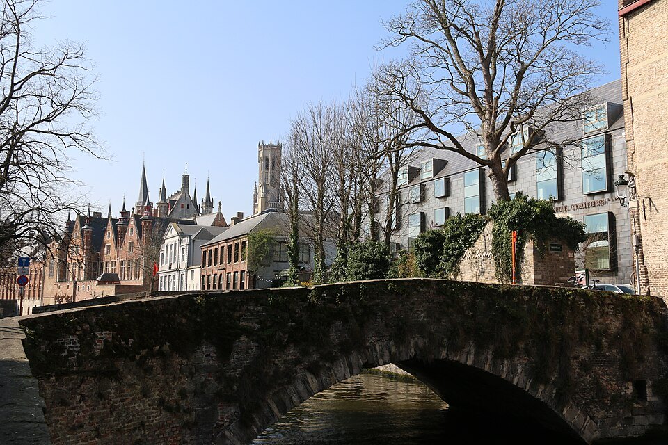
It is also where the canals feel most like part of daily life. The houses along it are homes, the quay is a street people cycle down, and the boats that glide past are a small interruption rather than the main event.
A river, not a ditch
The Groenerei is both a canal and the street beside it. The water runs from the Kraanrei at the Huidenvettersplein to the point where it meets the Sint-Annarei and the Coupure near the Molenbrug. For centuries scholars believed it had been dug by hand as a drainage channel for a distant mill; current understanding is that it is a section of the natural course of the river Reie.
In 1127 this stretch of water became part of the first fortifications of Bruges. Until around 1825 the whole street was called the Steenhouwersdijk; the name Groenerei is thought to come from an old inn called 't Groene, which long-time residents used as the name for the street.
What you actually see
The quay starts by the Blinde Ezelbrug, one of three bridges over this stretch; the others are the Meebrug and the Peerdenbrug. Across the water from the start of the walk rises the rear of the Landhuis of the Brugse Vrije, the Liberty of Bruges, with sixteenth-century fronts that stand straight up out of the canal.
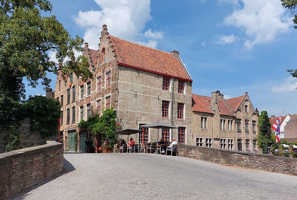
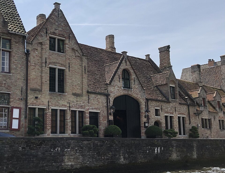
Further along is the Godshuis De Pelikaan, a charitable almshouse named after the pelican, a medieval symbol of self-sacrifice. Almshouses like this one were built by guilds and wealthy citizens to house the elderly poor, and Bruges still has many of them. Keep going and the canal bends at the Peerdenbrug, where you can look back along the water to the towers of the center.
The street also has a modest literary and political past. The Daveluy printing works operated here from 1841 to 1909, and the offices of the liberal newspaper Journal de Bruges were later on the street.
Almshouses and the life of the quay
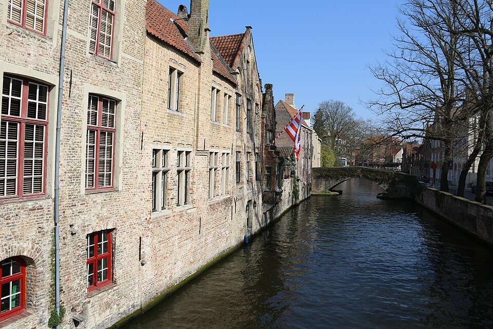
The almshouses along the Groenerei are a reminder of how the medieval and early modern city looked after its own. Low, whitewashed or brick, with a row of identical doors and a shared chapel or gateway, they gave elderly residents a small house of their own. They still serve as homes, and their calm fronts set the tone of the whole quay.
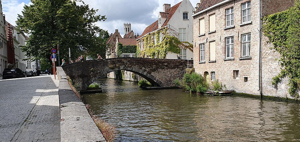
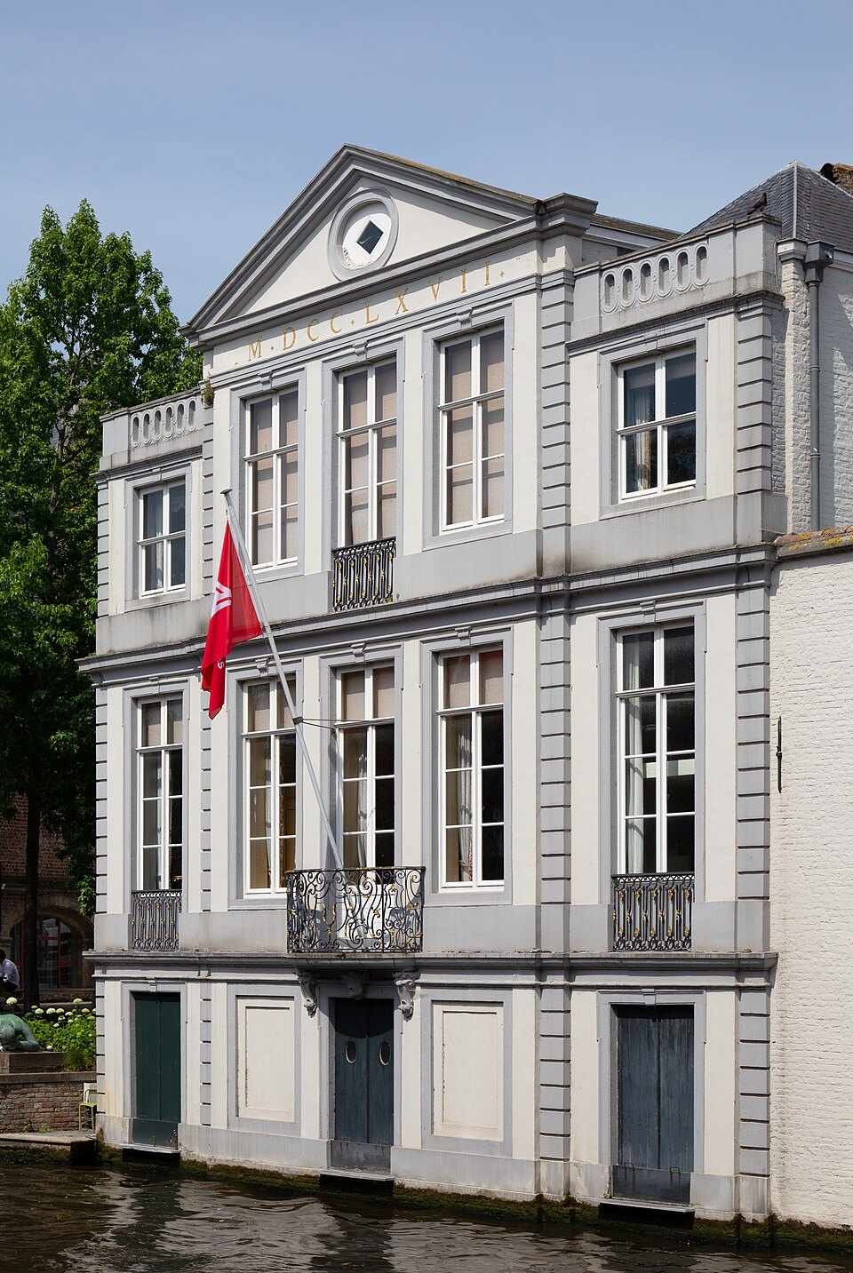
Behind them and across the water, the houses are a mixture of centuries: stepped gables beside plain plastered fronts, garden walls with ivy, and back doors that open straight onto the canal. Few of them are grand, and that is part of the charm. The Groenerei shows the ordinary fabric of Bruges, the part of the city that lived and worked beside the water rather than the monuments built for show.
The contrast with the squares a few steps away is the point. The Burg is ceremonial and crowded; the Groenerei, reached through a single arched passage, is domestic and hushed, and the change happens in less than a minute of walking.
The best views
The two classic photographs of the Groenerei are taken from its bridges. From the Meebrug, look along the canal with the trees overhanging the water and the houses reflected in it. From the Peerdenbrug, look back towards the center, where on a clear day the spires rise above the rooftops.
Early morning is the time for reflections, before the first boats ruffle the water. In autumn the trees turn and in winter the bare branches open up the views, and on misty days the canal has the melancholy look that made writers call Bruges a dead city in the nineteenth century.
How to visit
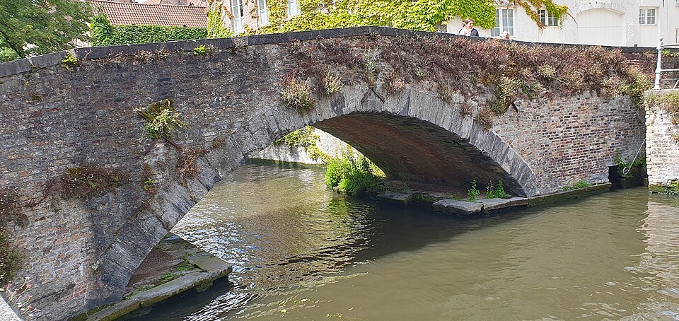
The Groenerei is a public street, free and always open. Walking from the Blinde Ezelbrug to the Peerdenbrug takes about ten minutes, but it deserves longer: stop on each bridge and let the canal slow you down. It is quiet at most times of day, even in summer, because the tour groups tend to stay on the squares.
Remember that people live here. Keep to the quay, do not sit on doorsteps or photograph through windows, and give way to cyclists. The canal boats pass along this stretch, so you can also see it from the water; see the canal boats.
Where it leads
At its far end the Groenerei continues towards the Sint-Annarei and the quieter north-east of the old town, where the Jerusalem Church stands. Going back the other way brings you to the fish market, the Huidenvettersplein and the Rozenhoedkaai, so a loop from the Burg along the Groenerei and back by the Rozenhoedkaai makes an easy half hour of the best canal scenery in the center.
Nearby
- The two squaresThe BurgThe square where Bruges began as a fortress of the counts of Flanders, now ringed by the Gothic City Hall, the Holy…Read the page
- Along the DijverRozenhoedkaaiThe bend of quay where the canal turns under brick houses and the Belfry rises behind them, once the salt quay of…Read the page
- The two squaresBasilica of the Holy BloodA double chapel in the corner of the Burg: a dark Romanesque chapel below, a richly painted Gothic Revival chapel…Read the page