Home · The Canals
How the waterways of Bruges made the city rich and then kept it unchanged, which stretches to walk, and how to see them from the water.
- 1The DijverA broad, tree-lined reach past the Groeningemuseum and the Gruuthuse, following the old course of the Reie.
- 2The RozenhoedkaaiThe famous bend under brick houses with the Belfry rising above them.
- 3The GroenereiThe quietest canal in the center, behind the Burg, past almshouses and three bridges.
- 4The SpiegelreiThe old harbor canal running east from Jan van Eyckplein between merchants' houses.
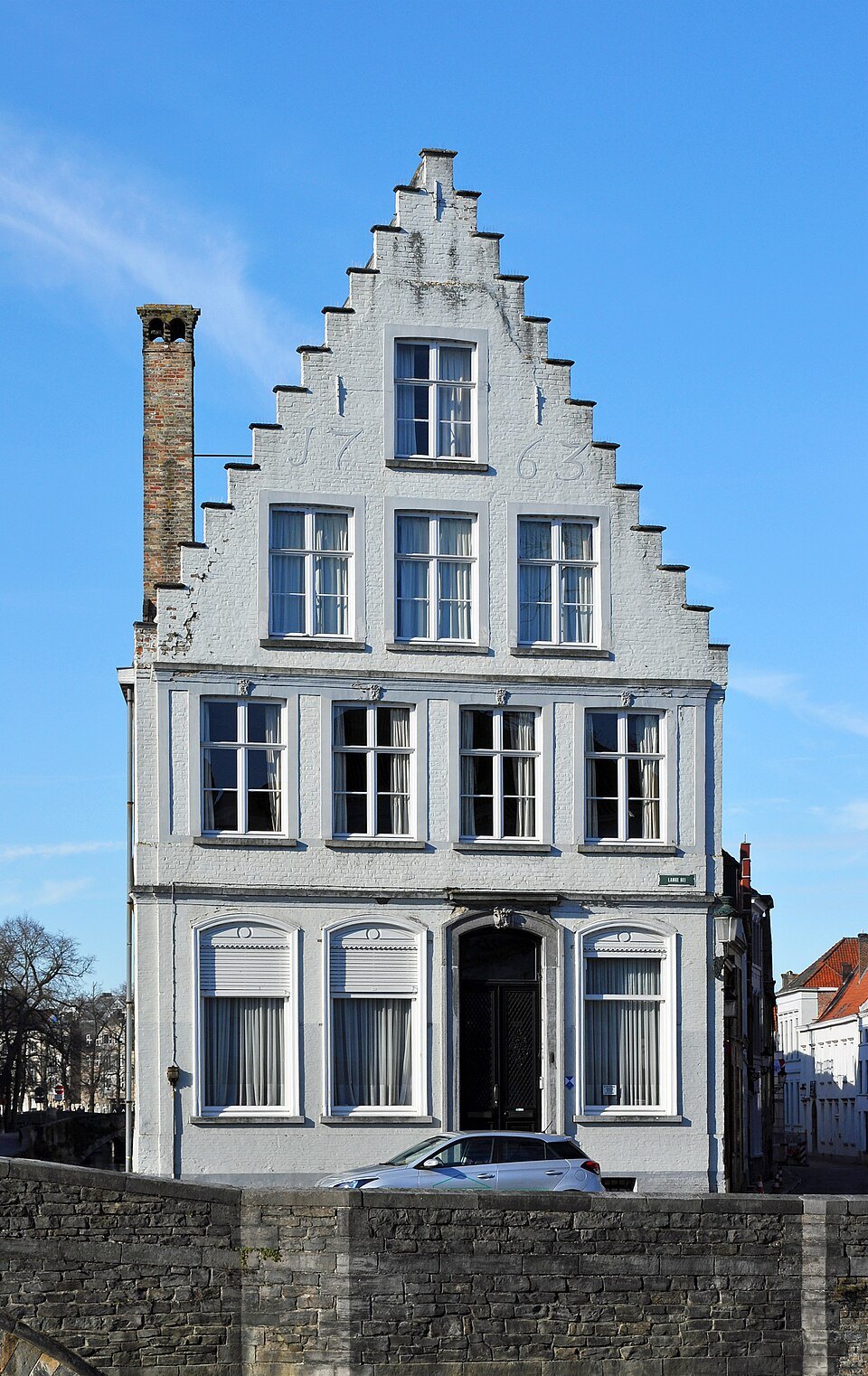
- 5The LangereiA long, straight, residential canal leading north towards the ramparts.
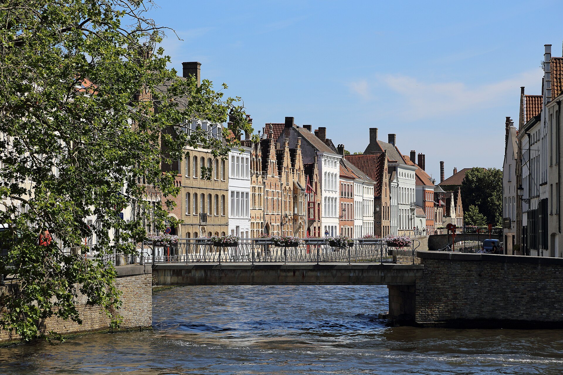
- 6The Sint-AnnareiA calm stretch at the edge of the Sint-Anna quarter, with the Molenbrug and the Carmersbrug.
- 7The MinnewaterThe thirteenth-century reservoir at the southern edge, where the canal widens into a lake.
- 8The outer canalThe ring of water beside the ramparts, with the city gates and the windmills along it.
From the center outwards, the way the water leads.
Why the canals matter
The canals of Bruges, the reien, are the first thing most people picture when they think of the city. Bruges is sometimes called the Venice of the North, a nickname it shares with Amsterdam and Saint Petersburg, and the comparison makes sense the moment you stand on a bridge and watch the houses reflected in still water.
But the canals are not a decorative feature added to an old town. They are the reason Bruges grew rich, and in a sense the reason it survived. To understand the waterways is to understand the city, and this page explains how, where to see them, and how to fit a boat trip into your visit.
Water that made a fortune
The inner canals follow and extend the river Reie, around which the settlement grew; some stretches that were long thought to be dug channels, such as the Groenerei, are now understood to be sections of the natural river. The name of the city itself is thought by some to come from an old Scandinavian word for a quay or jetty.
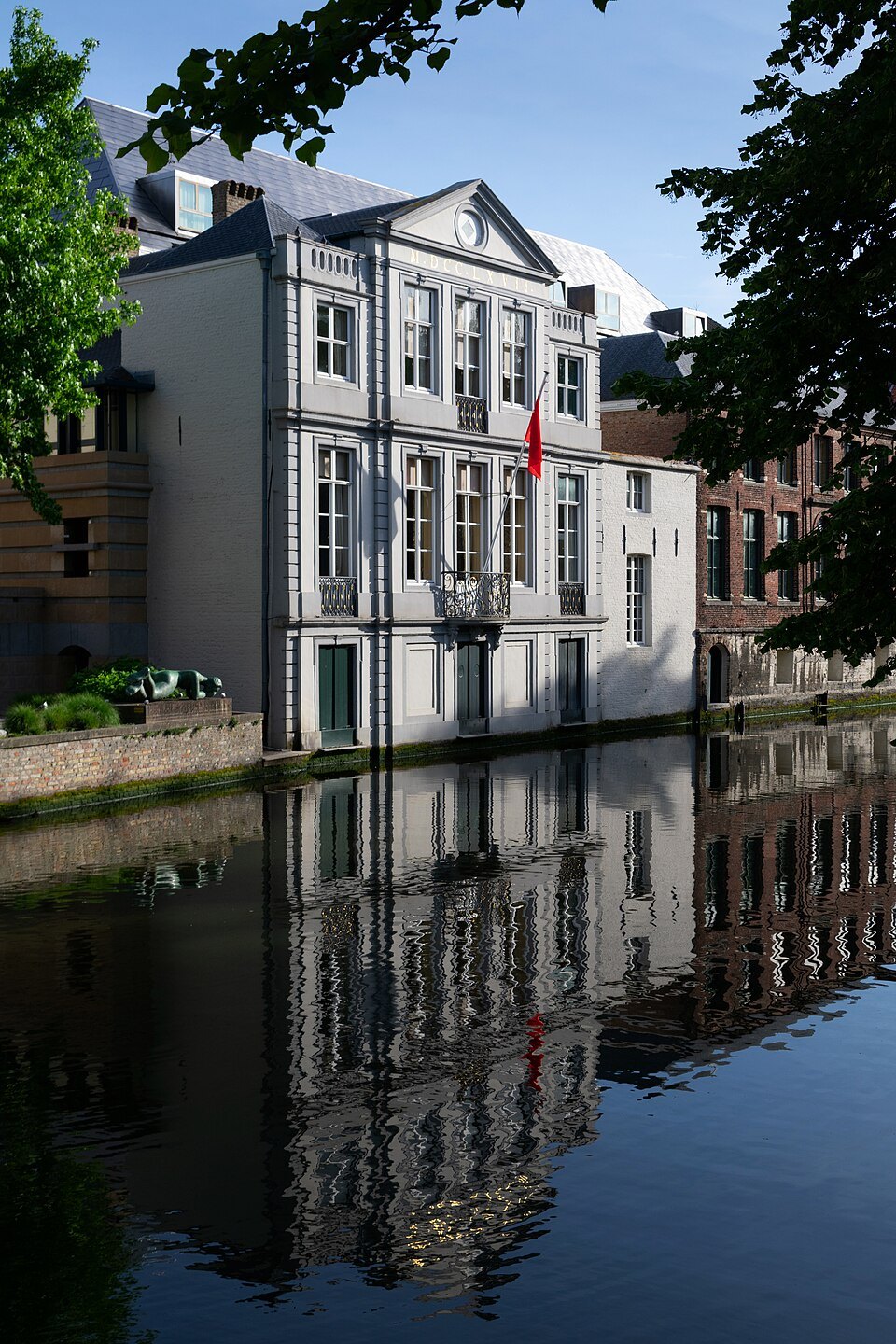
In 1134 a storm opened a channel to the sea at the Zwin, and for three centuries ships could reach Bruges by water. The city became one of the great trading centers of northern Europe: a merchant fleet from Genoa arrived in 1277, the Hanseatic League kept an office in the city, and a bourse opened in 1309. Goods were unloaded along quays such as the salt wharf that became the Rozenhoedkaai.
After 1500 the Zwin silted up and the golden age ended. Trade moved elsewhere and Bruges grew poorer, but the canals and the houses along them stayed. In the nineteenth century the quiet, reflecting water helped make Bruges one of the first tourist destinations in Europe, and Georges Rodenbach's novel Bruges-la-Morte of 1892 turned that stillness into literature.
Canals and walls
The waterways also defined the city's defenses. The first city wall, built in 1127 and 1128, followed the line of what is now the inner ring of canals. When a larger wall was begun in 1297, its moat became the outer canal that still circles the old town, and four of its gates stand on the water today.
At the southern edge, the Minnewater was dug in the thirteenth century as a basin to control the flow of the Reie into the city, and until 1784 it was the mooring place of the barge to Ghent. The water you see in the center has been managed for more than seven centuries.
The best stretches to walk
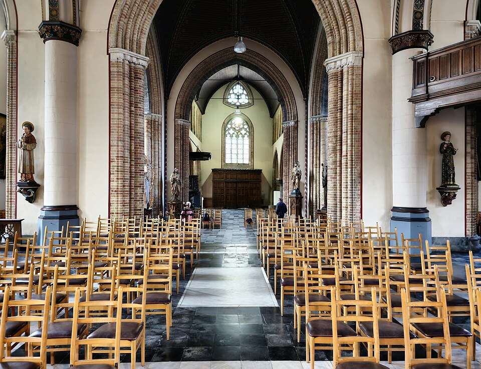
Start at the Rozenhoedkaai, the view that appears on every postcard, and follow the Dijver south under the trees past the museums to the Bonifacius footbridge. That short walk gives you the three most famous canal scenes in the city in twenty minutes.
For something quieter, go through the Blinde Ezelstraat arch from the Burg and follow the Groenerei to the Peerdenbrug. Then continue north-east along the Sint-Annarei and the Spiegelrei to Jan van Eyckplein, the old harbor square, and up the long Langerei towards the ramparts. These northern canals are residential and far less crowded, and the houses along them show the everyday Bruges that lived beside the water.
Finally, the outer canal around the ramparts is a different kind of walk: wide water, grassy banks, city gates and windmills. The eastern side, along the Kruisvest, is the most rewarding.
The northern canals
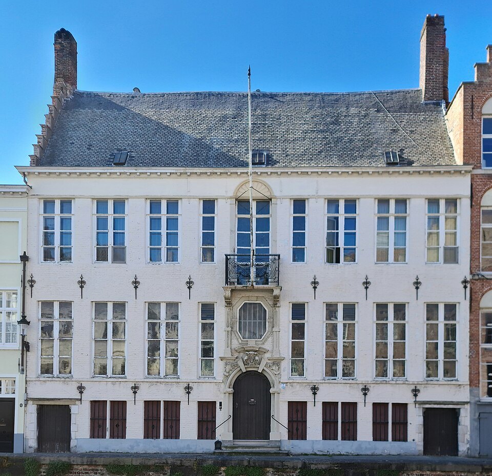
Most visitors see only the southern half of the canal network, around the Rozenhoedkaai and the Dijver. North of the Burg the canals change character. The Spinolarei, the Gouden-Handrei, the Sint-Annarei, the Potterierei and the long Langerei run between rows of houses where people live, with bridges such as the Molenbrug and the Carmersbrug crossing them at intervals.
These quays are the best place to see the canals as part of ordinary life: bikes against railings, windows at water level, and very little traffic of any kind. The boats come here less often, and there are no souvenir shops, so the reflections are undisturbed for much of the day.
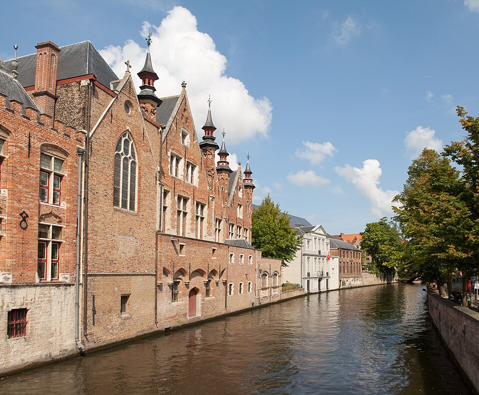
Walking out along the Langerei also brings you close to the Sint-Anna quarter, the Jerusalem Church and the ramparts, making it a natural route for a morning away from the crowds. Remember that these are residential streets: keep your voice down and leave doorsteps and windows alone.
Seeing the canals from a boat
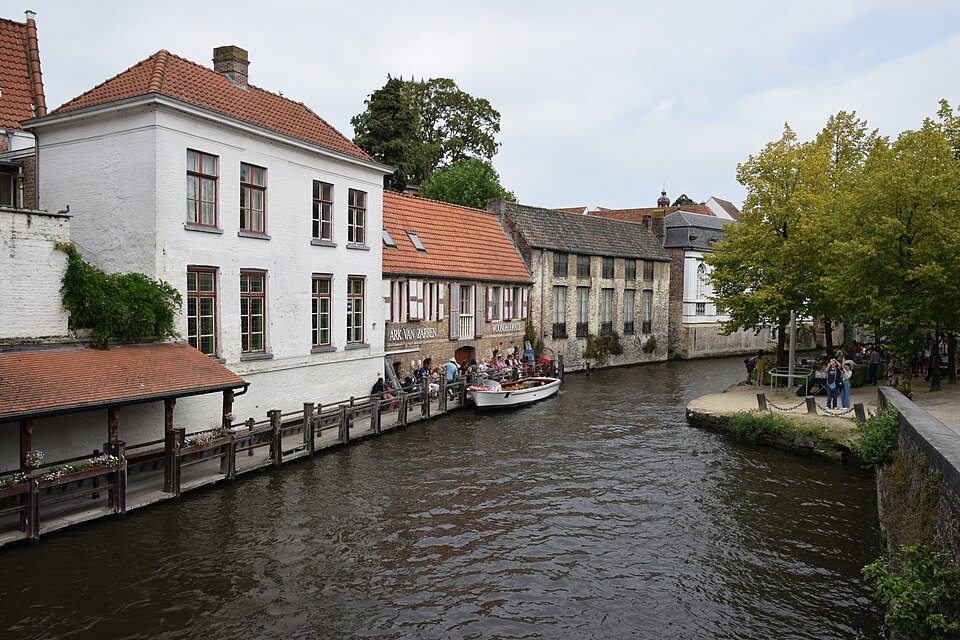
Open canal boats leave from five landing stages in the center and take about half an hour to loop through the inner canals between the old harbor quarter and the Beguinage, with a commentary from the captain. Tickets are bought on the spot; individual visitors cannot reserve. Boats run daily from March to October, with at least one stage operating each day in winter.
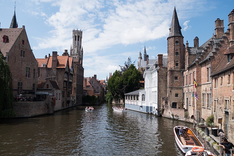
From the water you see things the streets hide: the backs of houses, private gardens and steps, and the brick walls of St. John's Hospital rising straight from the canal. The trip is short enough to fit into any day. Details are on the canal boats page.
When the canals look their best
Morning is the time for reflections, before boats disturb the water and while the light falls softly on the houses. Evenings bring floodlit towers and very still water once the boats have stopped. Misty autumn and winter days give the canals the melancholy look that made writers call Bruges a city asleep.
Spring and summer bring flowers on the quay walls and willows in full leaf, and also the crowds. For month-by-month advice, see when to come; for how the canals fit into a longer stay, the itineraries build walks around them.